
Rest stop
Põõsaspea rest stop
Põõsaspea puhkekoht
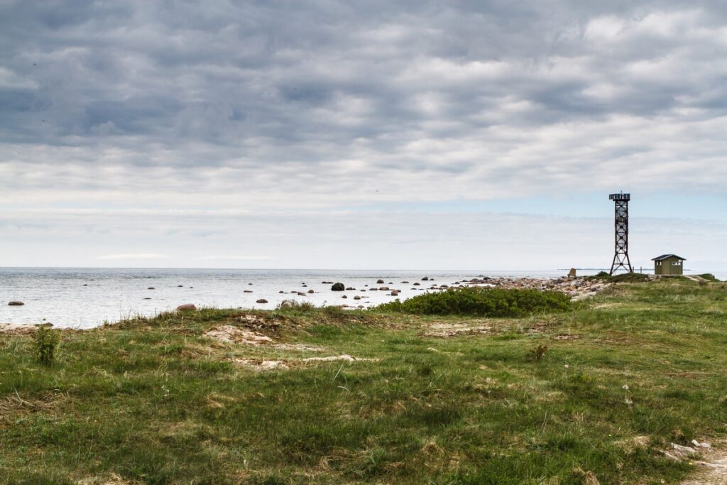
- Kept up all year
- Parking
Cape Põõsaspea is the north-westernmost tip of mainland Estonia, which is important for the entire Baltic Sea. Here starts the line, which extends over Osmussaare Island to Cape Hanko and divides the sea into the Gulf of Finland and the Baltic Sea.
Põõsaspea cape near Spithami is the north-westernmost point of mainland Estonia. It is also a boundary in the sea: a line drawn from here over Osmussaar island to Cape Hanko in Finland separates the Gulf of Finland from the open Baltic. Every spring and autumn huge flocks of arctic seabirds stream past along this line, making Põõsaspea one of the best places in Estonia to watch the migration, and a small observation hut shelters birdwatchers from the wind. The shore stones include breccias from the Neugrund meteorite crater, an ancient impact structure on the seabed nearby.
How busy
Popularabout 27,400 visits a year (RMK, 2023)
Open it on the map Weather, fire danger, night sky and the way there
Download the place (GPX)For Komoot, Wikiloc, Garmin, OsmAnd and other hiking apps
Place and description: RMK · rmk.ee ↗