
Campsite
Harilaiu campsite
Harilaiu telkimisala
- Tent pitches
- Stay the night
- Covered fire shelter
- Hiking
- Parking
Harilaiu peninsula is a part of Vilsandi National Park on the north-western coast of Saaremaa. The rectangular peninsula is connected with Tagamõisa peninsula by a narrow strip of land called Harilaiu Neck.
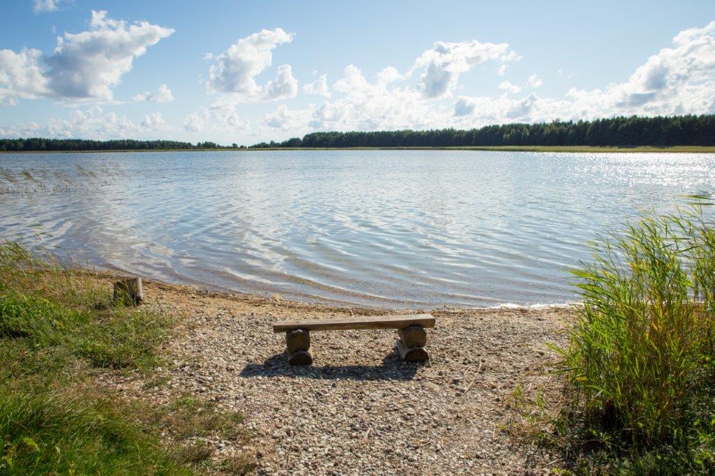
Harilaiu is a square-shaped peninsula on the north-western tip of Saaremaa, joined to the Tagamõisa peninsula by a narrow neck of land. It rose from the sea only one or two thousand years ago and is still changing: waves and wind keep moving its sand and pebble beaches and dunes, so the shoreline looks different from one visit to the next. The campsite lies about 4 km from the car park, by Laialepa, the largest of the peninsula's lakes, with open sea beyond. Nobody has ever lived here permanently, and the area has been protected since 1924. At Kiipsaare cape the famous leaning lighthouse stands in the surf.
Open it on the map Weather, fire danger, night sky and the way there
Download the place (GPX)For Komoot, Wikiloc, Garmin, OsmAnd and other hiking apps
Place and description: RMK · rmk.ee ↗