
Hiking trail
Meenikunno hiking trail (5.8 km)
Meenikunno matkarada (5,8 km)
- Covered fire shelter
- Hiking
- Loop trail
- Kept up all year
- Wheelchair accessible
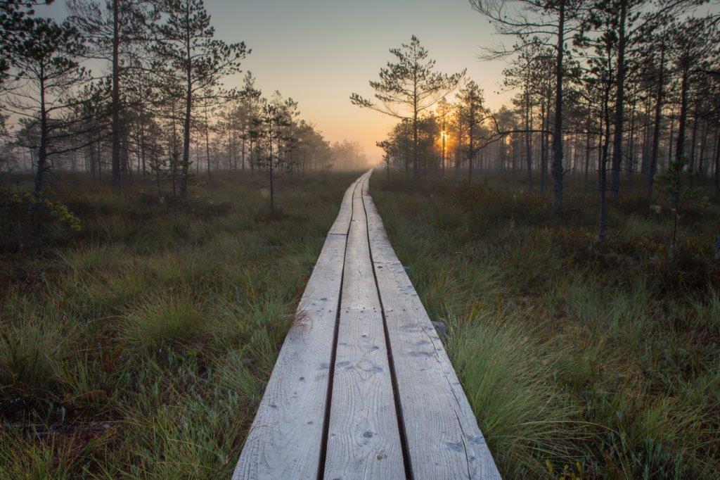
The 5.8 km circular hiking trail runs on 2.4 km boardwalk and 3.4 km forest path. There are 13 information points introducing the bog and forest along the trail.
This 5.8 km loop in Põlva County crosses Meenikunno bog on 2.4 km of boardwalk and returns through 3.4 km of forest path. Thirteen stops introduce bog and forest, and at the Liipsaare end an observation tower looks over the open bog and its wooded islands. The bog has something for everyone: hikers, berry pickers and birdwatchers alike. At high water the forest section is hard going and calls for tall rubber boots. You can start from either the Liipsaare or the Päikeseloojangu car park.
How busy
Popularabout 30,700 visits a year (RMK, 2024)
Open it on the map Weather, fire danger, night sky and the way there
Download the trail (GPX)For Komoot, Wikiloc, Garmin, OsmAnd and other hiking apps
Place and description: RMK · rmk.ee ↗