Marfeldt Photography

Photo location · National park

Photographing Soomaa

Soomaa Rahvuspark Bog Land Nature Photography

A vast wilderness known for its “fifth season”, when seasonal floods transform the landscape. Wetlands, meandering rivers, ancient bogs and rich wildlife.

When I photographed it

MarchFrom the dates of the photos below. Light and seasons matter more than the calendar: check the conditions page before you go.

Open it on the map Read the story behind it →

Photos from here

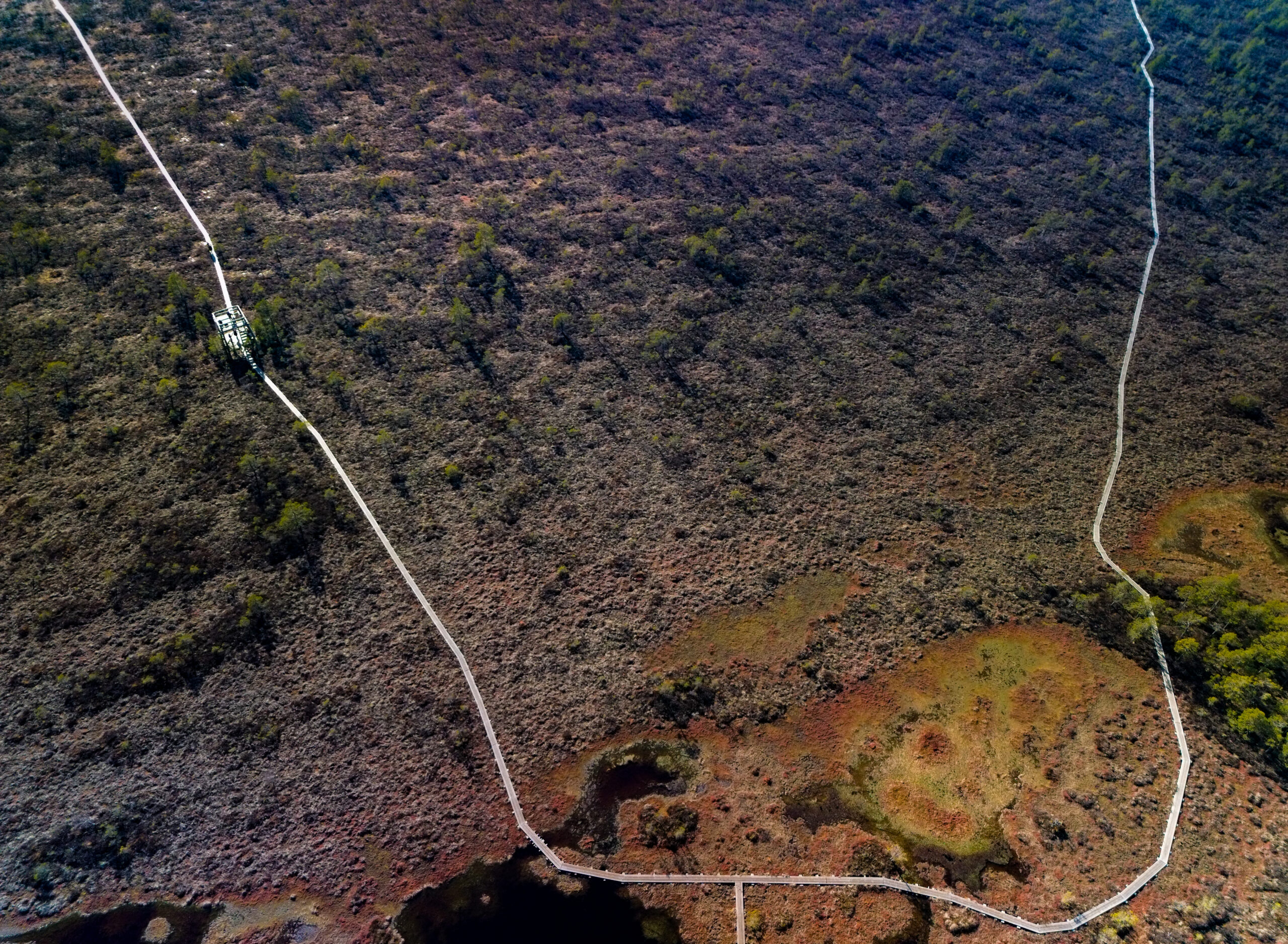
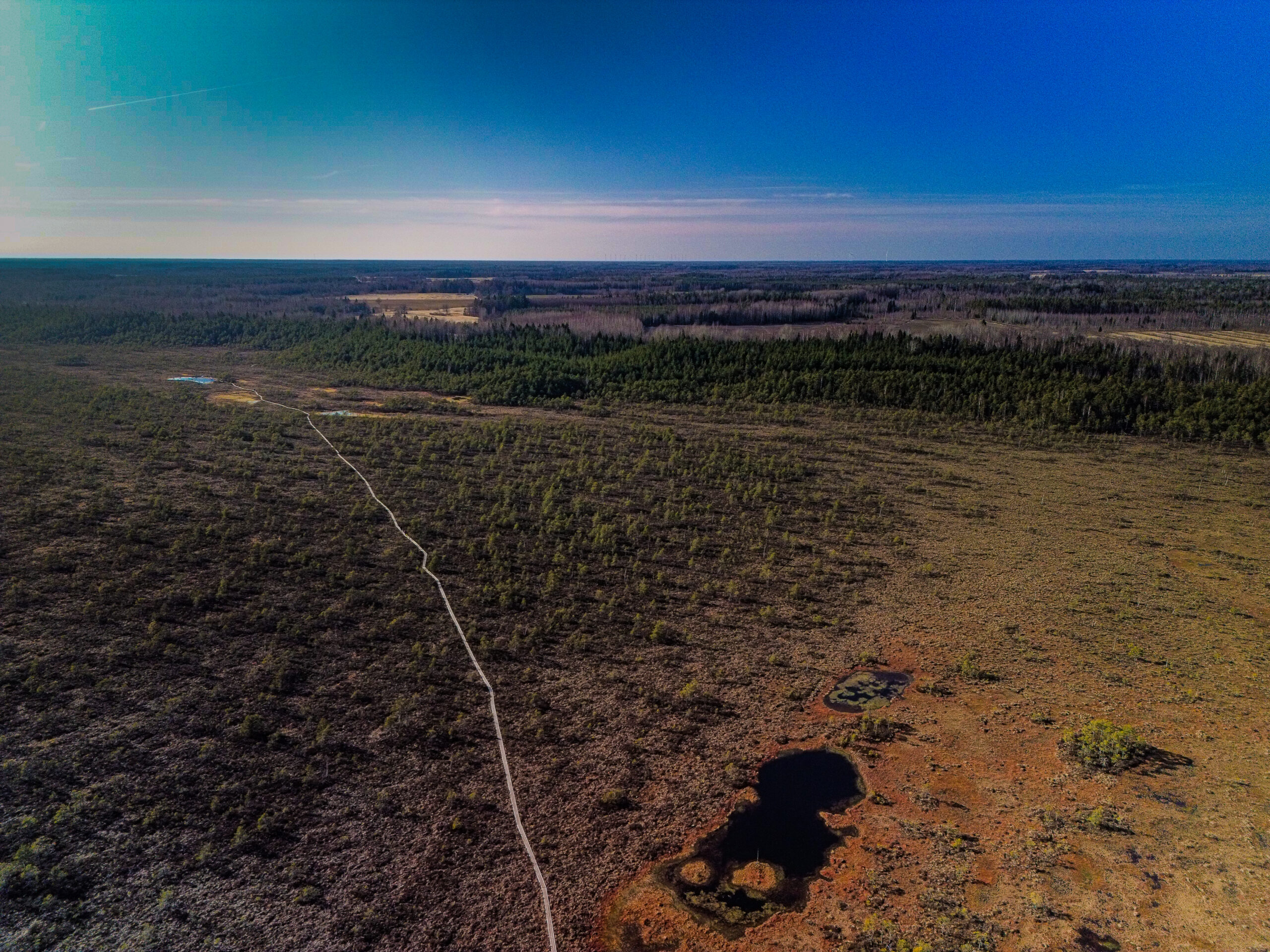
soomaa bogland drone arial photography soomaa bogland drone arial photography DCIM100MEDIADJI_0179.JPG, Soomaa, Estonia – landscape photo by Martin Marfeldt soomaa bogland drone arial photography soomaa bogland drone arial photography Soomaa, Estonia – landscape photo by Martin Marfeldt soomaa bogland drone arial photography soomaa bogland drone arial photography DCIM100MEDIADJI_0185.JPG, Soomaa, Estonia – landscape photo by Martin Marfeldt soomaa bogland drone arial photography DCIMPANORAMA100_0170DJI, Soomaa, Estonia – landscape photo by Martin Marfeldt
Map of the area around Soomaa
58.48830° N, 24.98070° E · Map: Maa- ja Ruumiamet

Stories from around here

Stay or walk nearby

Translate »